Cloudride Prologue Tour
A very wet test ride of the abandoned 2022 Cloudride Prologue route
There are rare times when our internal feelings and the environment itself seem to line up quite well. In February 2022 I test rode the then current draft of the Cloudride Prologue route. It was only a week after I had broken up with my ex-girlfriend, and after I rode into this storm, I was rained on for the next three days:

The majority of the first day was similar to a previous route I had ridden, and I even set my tent up in the same place as I had previously.
 |
 |
|---|

The Tuross river was my Rubicon and although it doesn’t look bad here, it was waist deep and flowing strongly. I practiced wading it a couple of times before I committed to carrying the bike through. And while this part of the world doesn’t get much through traffic anyway, I felt a little bit special knowing I wasn’t going to see anyone today. I just hoped there were no deeper rivers further on.
 Descending into Conway’s Gap in Wadbilliga was an incredibly beautiful location - it looks absolutely prehistoric.
 One of the perks of staying indoors: washing clothes. They didn’t dry out much overnight, but that wasn’t too much of an issue. Putting on wet clothes was feral, but only a short time later I would ride out into the rain anyway.

 While I’m a wading enthusiast, I wasn’t keen on the idea of getting washed out to sea or drowned in a strainer. This detour forced me to go via Larry’s mountain, which was the more interesting route anyway.
 The Deua river in flood.

Two road diverged in a wood. Three guesses which one Steve, the organiser of Cloudride Prologue sent me down. Here’s an excerpt from an email he sent with some navigation instructions:
@ 376k on Boundary FT you have a 500m descent down to where the River Forest Rd [ex road now supposedly a ‘walking track’]. There is an old road closed sign and my guess it’s 20 or so years old. From here it’s a 4k bush bash. Abt 1 klm or so along you’ll find a washed out very overgrown culvert/bridge with another Road Closed sign [see pic] [no doubt the reason the road has been closed]
My best navigation advice is;
1 Take note of the packed road base as you commence… this is the road surface all along the 4k though it is often difficult to see. 2. Keep an eye on the tall 30-50m trees. There is a mostly a visible corridor of these tall trees as the ‘road’ is generally pretty straight. 3. The sapling overgrowth is generally shorter [waste/chest high] and a paler light green than the sapling growth immediately along the edge of the road which is generally more gum/blue coloured and maybe 20-30cm taller. 4. The road is generally flat and descending lightly. That said there are some big trees down that you will have to go around ….If you start staggering around with rough ground underfoot you’re deff off course and haven’t re-found the road.
Once you arrive at the junction with Milo Rd [386k] the original Forest River Road resumes its fast rolling good two track and eventually improves to a formed forest road.
 The aforementioned road closed sign 1km into the bush bash, at the site of a missing bridge.
 A brief overlap between the path and a river. But in general I found that water run off loves roads - here’s a few more submarine options:
 |
 |
 |
|---|

The Black Summer bushfires affected a huge portion of the Eastern Seaboard, and the majority of this ride was through affected areas. Even the intense regrowth shows the impact of the fires - the trees have no canopy but are covered in regrowth the whole way up their blackened trunks. It was quite a strange feeling, seeing such a burnt country in such a drenched state.
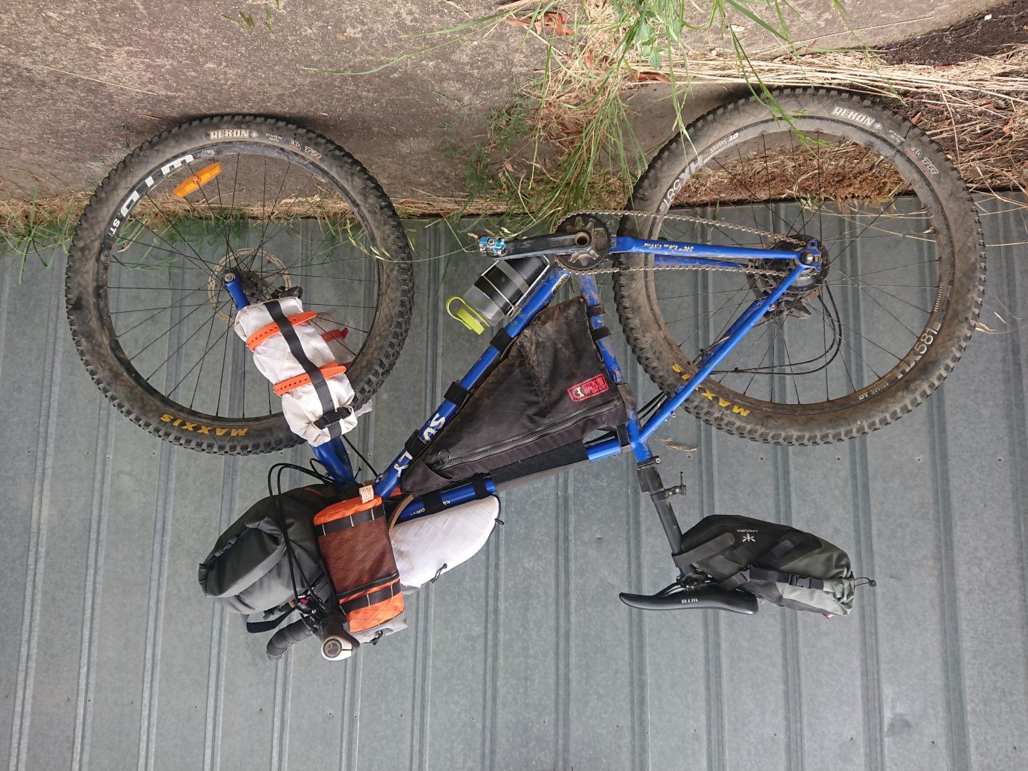
 Nothing like a five days of mud spray to the face.
 Made it back to BentSpoke, the traditional ending of all Cloudride events.